Updates / Blog /


Updates / Blog /
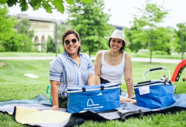
This spring, many of the park areas at the Jefferson National Expansion Memorial, Gateway Arch, opened to the public. A variety of parking and transit options are available for getting to the Arch and park via car, Metro Transit, foot, and bicycle. Along the way, sidewalk stencils and wayfinding signs are in place, leading pedestrians to the Gateway Arch.
In October 2014, Explore St. Louis, the City of St. Louis, and other downtown stakeholders unveiled a new parking plan that improves the parking experience throughout downtown. Preferred Parking providers have uniform credit card payment options, security, accessible spots, identifiable signage, and wayfinding to make parking safe, affordable, and convenient for Arch visitors. Look for a white “P” in in blue circle or go to the mobile website www.GetAroundSTL.com to find Preferred Parking garages and lots.
Accessible parking spots are available at Preferred Parking garages and on streets near the Arch. Luther Ely Smith Square has drop-off and pick-up areas on Market, 4th, and Chestnut streets.
Arch visitors coming by car will find downtown streets lined with smart parking meters. Installed in 2015, new meters now accept credit cards. The Parkmobile smart phone app allows users to pay meters from anywhere – including the top of the Arch!
Many bus lines connect downtown to the region. Riders on #40 Broadway and #99 Downtown Trolley will find stops next to the Old Courthouse downtown. On the north end of the Gateway Arch park grounds, the North Gateway connects to the Arch/Laclede’s Landing MetroLink station. MetroLink riders can also use the 8th and Pine station to walk to the Old Courthouse Visitor and Ticketing Center.
For bicyclists, new bike lanes on Chestnut St. facilitate a safe ride to the Arch from the west. Also updated, the Mississippi Greenway now extends to Chouteau Ave. with separated bike lanes along Laclede’s Landing and under the Arch on Leonor K. Sullivan Blvd. The roadway was raised via the CityArchRiver project to reduce flooding occurrences that closed it in the past. Four new ramps connect the Arch park to the riverfront, finally providing accessible options besides the Grand Staircase.
The CityArchRiver project brought new bike racks in areas including the riverfront, park spaces under the Arch, Luther Ely Smith Square, and in Kiener Plaza. National Park Service Law Enforcement Officers provide security on the Gateway Arch park grounds.
When the new entrance to the museum under the Arch opens in 2017, access to the Arch will be easy and closer to downtown parking. The Pine St. pedestrian bridge, a wider Walnut St. bridge, the Park over the Highway, and improvements to downtown intersections for pedestrians will provide safe, inviting entrances to the Arch grounds from downtown.
Make a difference AND enjoy a delicious catered lunch with the best views in the country. Invite your family or friends to our spring fundraiser and get your tickets by May 31.
I'm ready to picnic!